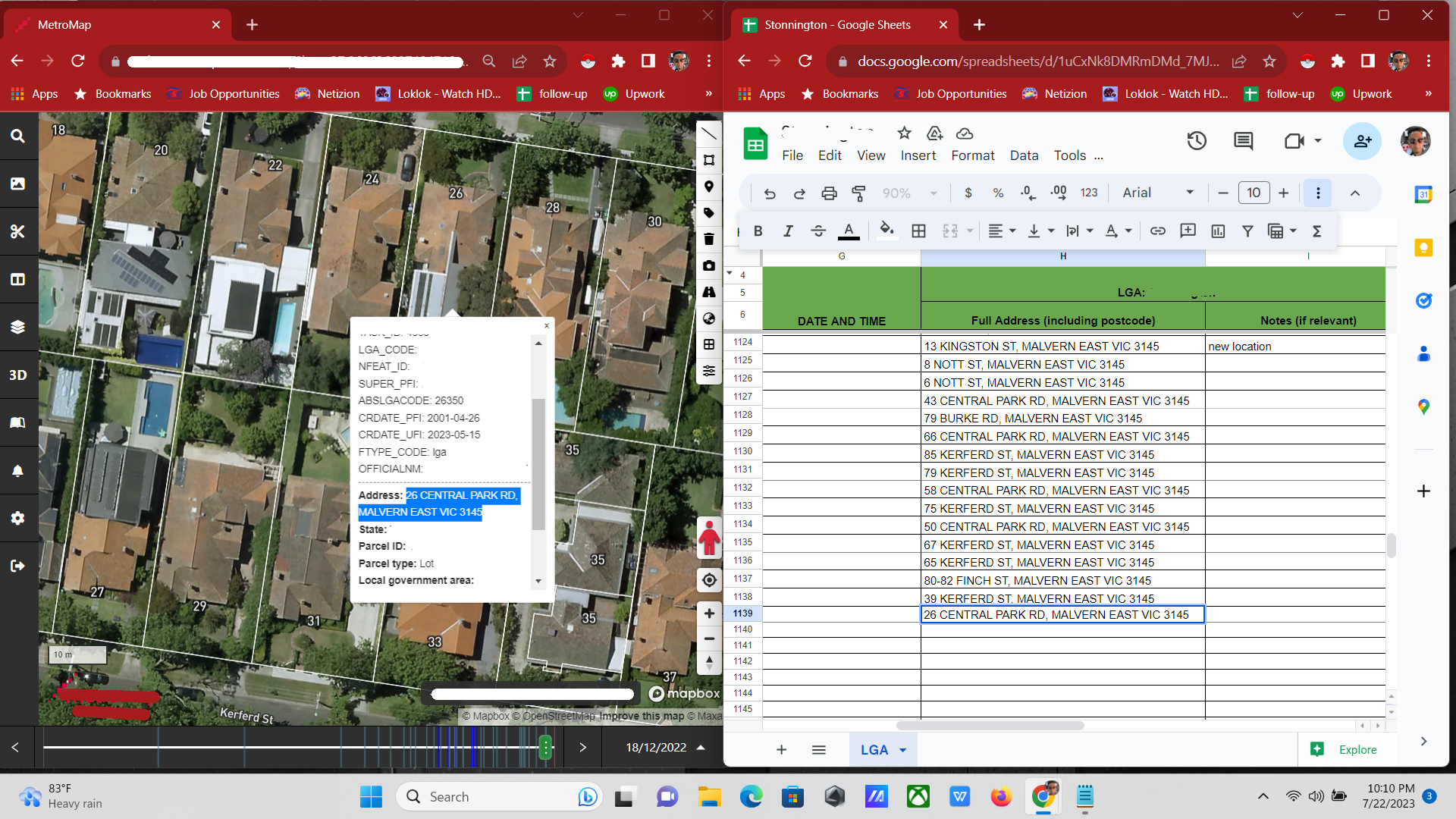
QGIS Mapping
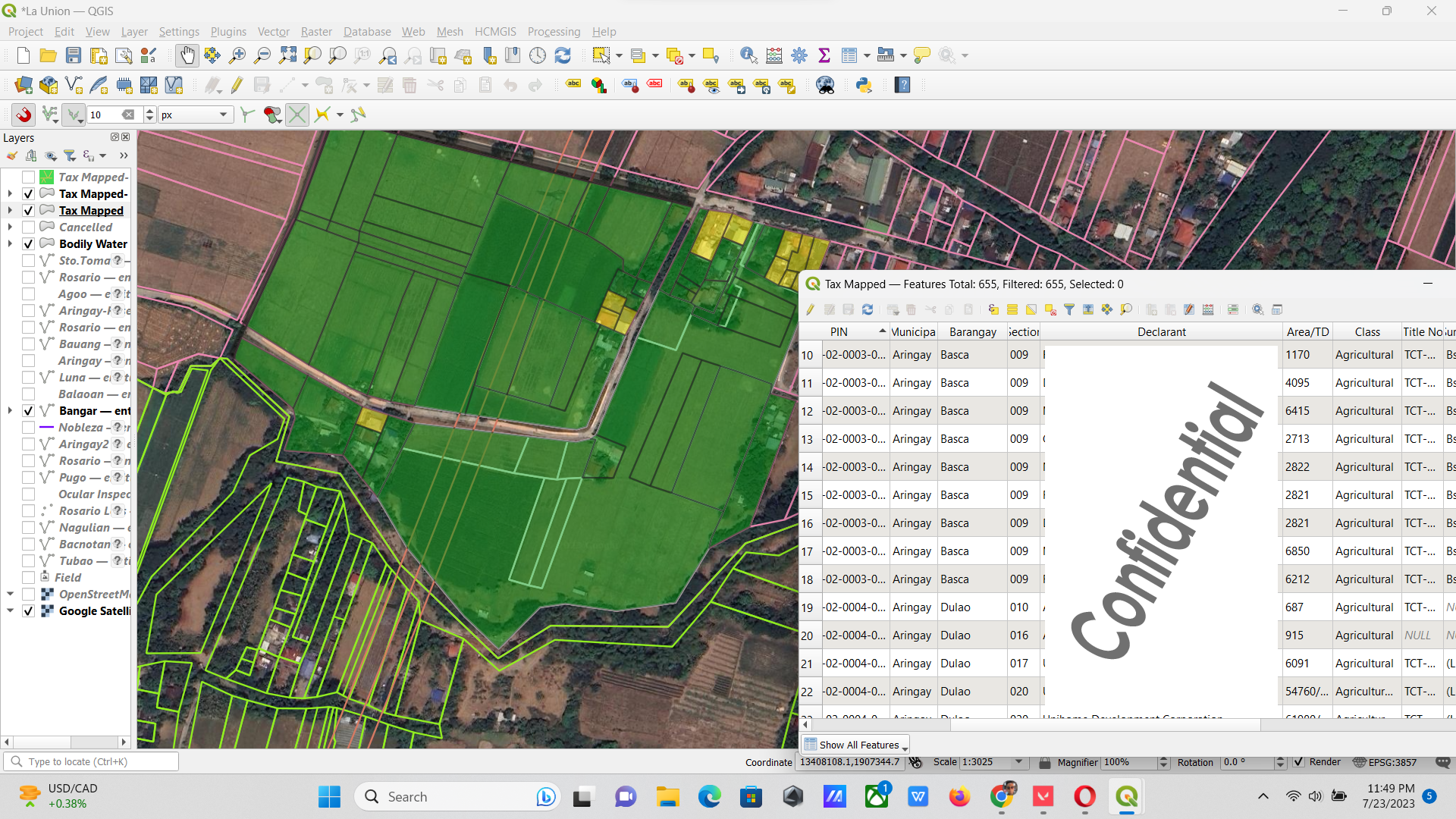
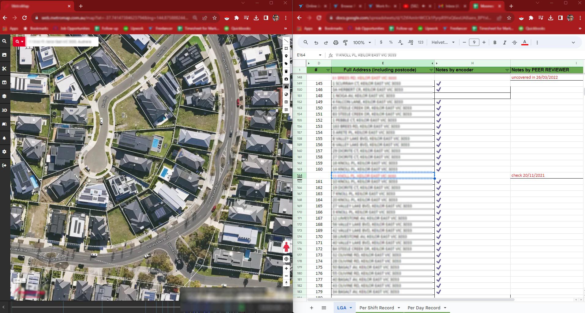
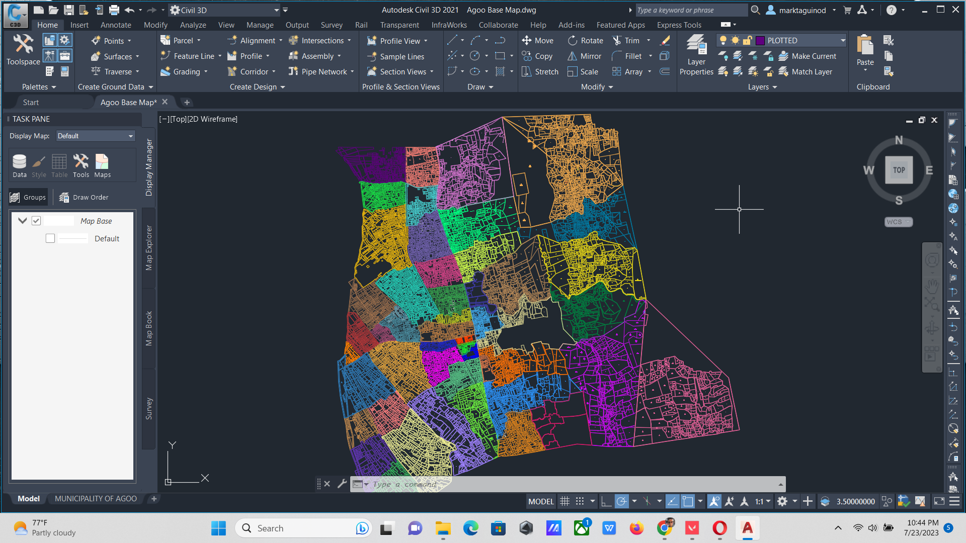
Cadastral mapping through GIS involves using Geographic Information Systems technology to create precise and detailed maps displaying land parcel boundaries, ownership information, and attributes. It integrates geographic data with property data, allowing for sophisticated spatial analysis and efficient land administration. GIS-based cadastral mapping enhances data accuracy, facilitates informed decision-making, and promotes effective collaboration among stakeholders, leading to improved land management and planning.

